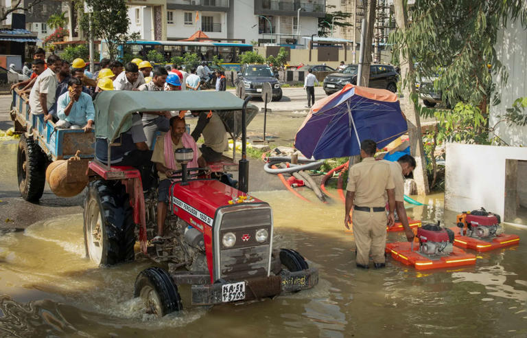
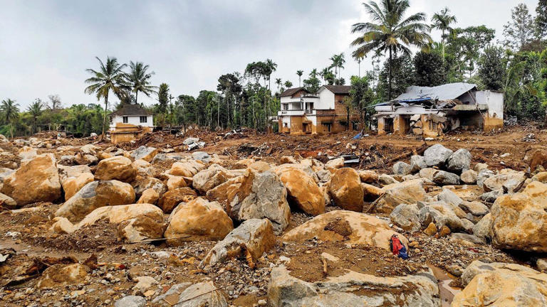
Cyclone Dana, currently intensifying in the Bay of Bengal, is expected to make landfall along the Odisha-West Bengal coasts in the early hours of October 25. With wind speeds anticipated to reach 120 km/h, it poses a significant threat to coastal regions. Here are key points about the storm:
- Cyclone Formation: Cyclone Dana formed from a deep depression over the Bay of Bengal and is expected to strengthen into a severe cyclonic storm before landfall.
- Landfall Location: The cyclone is predicted to hit between Puri (Odisha) and Sagar Island (West Bengal).
- Current Position: As of Wednesday morning, Dana was situated about 560 km southeast of Paradip (Odisha) and 630 km south-southeast of Sagar Island (West Bengal).
- Fisherman Warnings: Fishermen have been advised not to venture out due to high wind speeds and rough seas from October 23 to 25.
- Rail Disruptions: Over 150 trains have been cancelled in anticipation of severe weather.
- Coast Guard Alert: The Indian Coast Guard has mobilized ships and aircraft for potential rescue missions and emergency response.
- NDRF Deployment: Thirteen NDRF teams have been stationed in vulnerable areas, ready for rescue and relief operations.
- Heavy Rainfall: South Bengal districts like South 24 Parganas, Paschim, and Purba Medinipur are expected to see very heavy rainfall, with Kolkata and surrounding areas on high alert.
- Odisha Preparations: Coastal districts in Odisha, including Balasore and Puri, are bracing for heavy rain and potential flooding.
- IAF Assistance: The Indian Air Force has transported NDRF personnel and relief materials to Bhubaneswar, in preparation for post-cyclone relief efforts.
Coastal communities are being urged to prepare for extreme weather as the cyclone approaches.


